


This data will help build a precise elevation profile of the Greenland Ice Sheet as well as to calibrate existing elevation models, which are based on satellite altimetry. In addition, the multi-frequency capability of the AsteRx-SB receiver will enable monitoring of the ionospheric activity as well as Galileo signals at high latitudes.
“The AsteRx-SB receiver provides accurate and reliable positioning data even in the world’s harshest environments. Data collected during this first-of-a-kind expedition will help research of arctic ice caps, ionospheric activity, and other topics,” said Dr Nicolas Bergeot, Time-Ionosphere section of the Royal Observatory of Belgium.
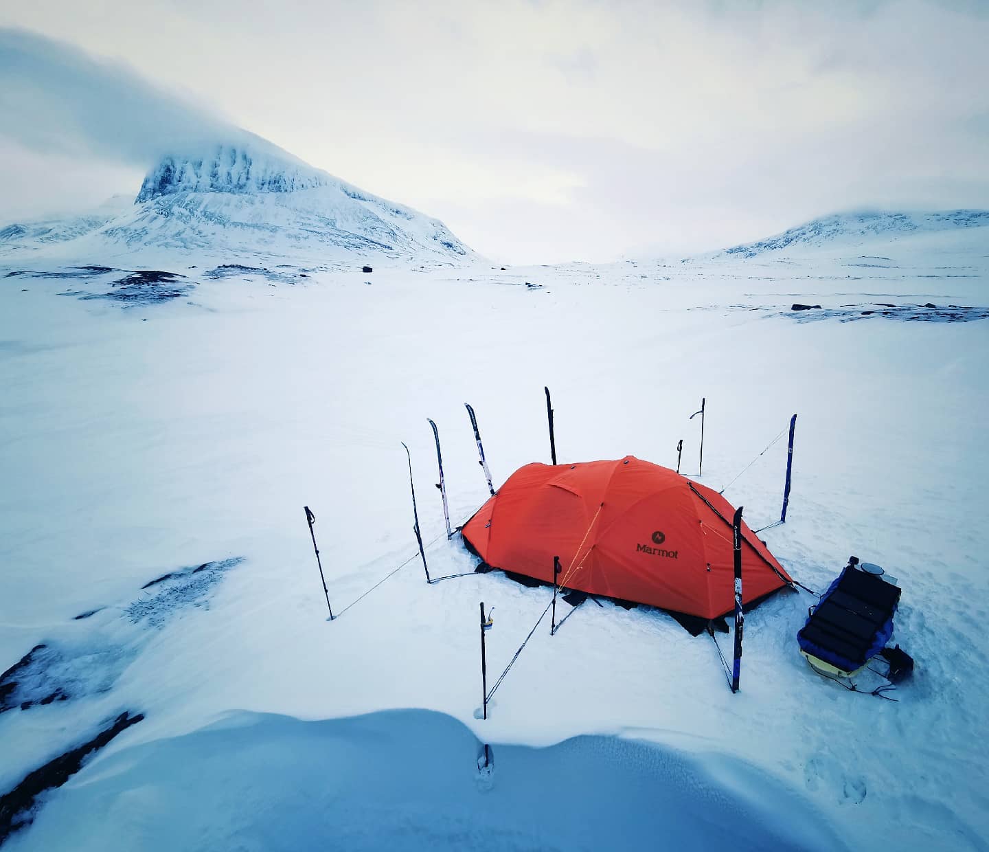
The expedition is called Nanok, which is an Inuit word for polar bear. The adventurers, Gilles Denis and Nathan Goffart, started the triathlon with a 600km ski with a pulk sled along the Arctic Circle. The second part of the triathlon is a 1000km sea kayak along the Greenland east coast, and finally there is a 1km vertical rock climb for the opening of a new route. The AsteRx-SB receiver and the PolaNt-x MF antenna is accompanying the explorers for the whole journey.