


This satellite will maintain an orbit 300 miles above Earth, completing 15 orbits daily.
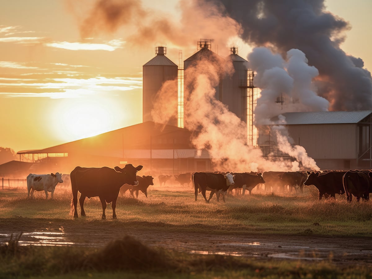
Scientists have identified methane as a significant factor in global warming due to its ability to retain heat.
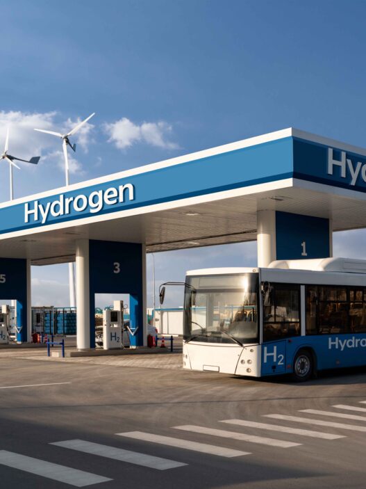
Methane production is notably high in agriculture and waste management, but Google’s venture will concentrate on detecting methane emissions from oil and gas facilities.
Oil and gas extraction activities often involve the burning or venting of methane.
This venture represents a partnership between Google and the Environmental Defense Fund, an international non-profit organisation dedicated to climate action.
The information collected by the satellite will be analysed using Google’s advanced artificial intelligence technology to create a detailed map highlighting methane leaks across global oil and gas infrastructure.
However, Google has stated that it will not directly alert the owners of the infrastructure implicated in significant leaks.
The company’s stance is to make the data accessible, noting that it will be available to governments and regulatory bodies, who will then have the responsibility to enact any necessary changes.
Currently, there is no global regulation for methane emission control. The European Union has introduced proposals to reduce methane emissions, including mandatory leak repairs by oil and gas operators and a ban on flaring in the coal industry within EU countries starting from 2025.
Google’s methane map, accessible through its Earth Engine, will not provide real-time data, with updates from the satellite arriving every few weeks.
In 2017, the European Space Agency launched Trompomi, a similar satellite tool for tracking atmospheric trace gases, including methane, with a minimum operational lifespan of seven years, potentially concluding this year.
Carbon Mapper, utilising Trompomi data, revealed in 2022 that the largest methane emissions were observed in Turkmenistan, Russia, and the USA, although data from Canada and China were obscured by cloud coverage.
Google aims to address the limitations of current tracking technologies with its project.
Despite ongoing efforts to monitor methane, levels of the gas continue to rise alarmingly.
NASA reports a more than twofold increase in methane levels over the past two centuries, attributing 60% of this to human activities, notably from livestock, particularly cows, which emit methane through their digestive processes.
According to a 2020 report by the US Environmental Protection Agency, an individual cow can emit between 154-264 pounds of methane annually, with an estimated 1.5 billion cows globally raised for meat.
Peter Thorne, a professor of physical geography at Maynooth University in Ireland, noted that while satellites excel at identifying major emission sources, pinpointing smaller, more dispersed sources, like those from agriculture, remains challenging.