


The international Surface Water and Ocean Topography (SWOT) satellite took off from Vandenberg in California on 16th December.
SWOT will use a revolutionary radar instrument, named KaRIn, to survey at least 90% of the Earth’s surface, measuring and monitoring changes in the ocean, lakes, reservoirs, rivers and wetlands, to produce data that will help improve our understanding of climate change, as well as predict and mitigate flood risks around the world.
SWOT is a satellite jointly developed by NASA and the French space agency, CNES, in partnership with the Canadian Space Agency (CSA) and UK Space Agency.
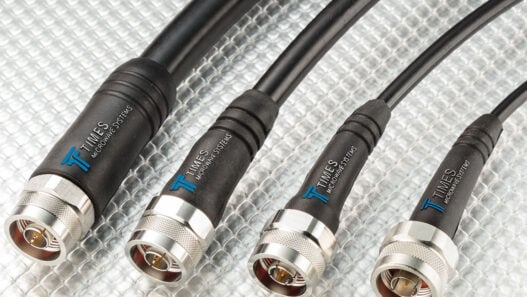
The UK Space Agency has provided UK technology company Honeywell with £12.2 million to develop KaRIn’s Ka Band duplexer, which routes vital radar signals around the satellite at a frequency never reached before.
UK scientists are also supporting the international effort to assess and exploit SWOT data over areas with very high tidal ranges and fast currents. The UK Space Agency partnered with the Natural Environment Research Council (NERC), between them investing £375,000 in the SWOT-UK science research project that will focus on SWOT data covering the Bristol Channel and Severn Estuary area.
Science Minister George Freeman said: “Water is fast becoming a major geopolitical resource: with climate change causing droughts and floods and global interest in water temperature and flows.
“The UK government has just committed £314 million to participate in European Earth observation missions, giving us access to crucial data about our natural world and how we can tackle climate change.
“It’s fantastic to see industry and universities from across the UK collaborate on a global mission that will mark a step-change in our ability to map, monitor and respond to ocean and surface water.
“Our space sector thrives on building relationships with our international counterparts and this mission has the UK at its heart with our friends in the US, France, Canada and NASA.”
UK Space Agency CEO Dr Paul Bate said: “SWOT will revolutionise our understanding of our planet’s surface water and how its patterns are changing, giving us vital information to improve how we manage one of humanity’s most precious resources.
“This is an important mission for the UK to be involved in, both in terms of building the radar instrument and in directly receiving and analysing Earth observation data for the UK.
“I look forward to seeing the data that the satellite returns on the Bristol Channel and Severn Estuary.”
The SWOT-UK project is led by the National Oceanography Centre (NOC) with the University of Bristol and Bangor University to evaluate the SWOT data over British waters. The Bristol Channel and Severn Estuary will be observed once a day during a three-month period in April to June 2023 to provide unprecedented information from space on water level changes in this dynamic coastal environment.
Professor Christine Gommenginger, Principal Scientist in Satellite Oceanography at NOC, has more than 20 years’ experience in measuring sea level with altimetry and co-leads SWOT-UK.
Bangor University led the deployment of sensors, called acoustic Doppler current profilers (ADCP), to measure tidal flows in the Bristol Channel, and the RiverRay instrument, which will take similar measurements in the River Severn by travelling across the channel on a small boat.
Simon Neill, Professor in Physical Oceanography at Bangor University, said: “The ADCP is a device that uses sound waves to measure the speed and direction of currents throughout the water column, providing an understanding of how water in rivers and oceans moves.
The data collected from these devices will enable us to develop a full understanding of the Bristol Channel and to directly compare with the data collected by SWOT.”
Built in the UK, Honeywell’s Ka Band duplexer is a vital part of the KaRIn altimeter on the SWOT satellite, routing radar signals around the satellite and transmitting at a power of 1,500W – a level never seen in this kind of device – allowing KaRIn to measure water levels to better than 2 cm height accuracy at a spatial resolution of 1 km from an orbit height of 891 km above the Earth.
The Plymouth Marine Laboratory will also work with the Ocean University of China to analyse the data returned and identify and track eddies, looking specifically at how the Mid Atlantic Ridge impacts their progression across the South Atlantic and how this affects the north-south transport of heat by the ocean.
The UK recently committed £315 million to future Earth observation and climate missions and programmes, including TRUTHS and Aeolus-2, through the European Space Agency, and a further £65 million to national programmes that will strengthen skills and capabilities in this important area.